|
On 5/20/2007 12:44:45 PM UTC a change occurred in the
eruption status of Volcano Bezymianny in the unpopulated
region of Russia in KAMCHATKA.
The GDACS alert indicates:
 Less than 100000 people within 100km or
Volcano is dormant, normal seismic & fumarolic
activity, or restless (alert level 0 or 1). Less than 100000 people within 100km or
Volcano is dormant, normal seismic & fumarolic
activity, or restless (alert level 0 or 1).
 More than 100000 people within 100km and
volcano is in eruption or eruption may occur at any time
(Alert levels 2, 3 and 4) More than 100000 people within 100km and
volcano is in eruption or eruption may occur at any time
(Alert levels 2, 3 and 4)
 More than 100000 people within 100km and
significant eruption is occurring or explosive eruption
is expected at any time (alert level 5). More than 100000 people within 100km and
significant eruption is occurring or explosive eruption
is expected at any time (alert level 5).
Alert levels are taken from the South West Volcano
Research Centre.
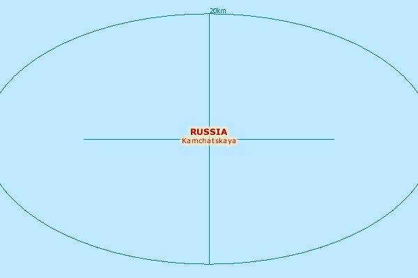
Location
Description
The Volcano is in KAMCHATKA, 40km from the city of
Klyuchi. The nearest populated places are [None].
It is a mountainous region with a maximum altitude of
4588 m. 
Getting there and away
The airfield of Klyuchi is located at 38km from the
epicenter. See the map for more details.
The estimated geographical coordinates of the Volcano
are: 55.98 North and 160.59 East. |

 Population
Density near epicenter (people/km2).
Image area: 2x1 decimal degrees (approx.
220x110km2).
Population
Density near epicenter (people/km2).
Image area: 2x1 decimal degrees (approx.
220x110km2).
 UTC/GMT (Greenwich time):
5/20/2007 12:44:45 PM
UTC/GMT (Greenwich time):
5/20/2007 12:44:45 PM

.png)
.png)